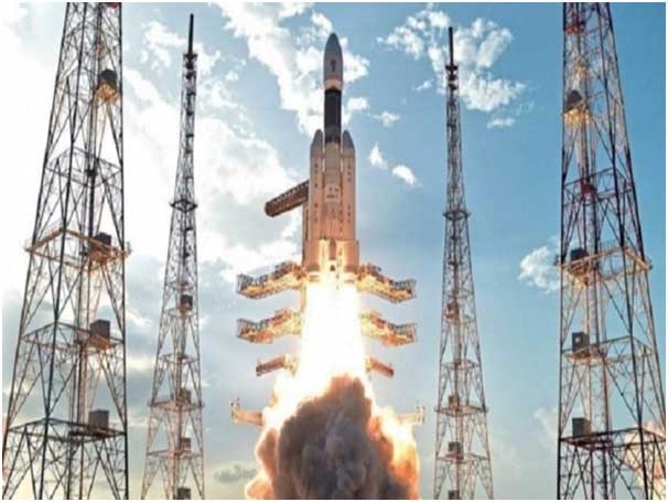
Agencies, 29 July: Union Minister of State Science & Technology and Earth Sciences (Independent Charge) Dr Jitendra Singh para July 29, 2021 te Department of State toh 2021 laga third quarter te ISRO’s Geo-imaging Satellite ‘EOS-03’ suru koribole daiyar ase koise.
EOS-03 Satellite para desh te natural disasters-cyclones aro floods nesana te sabo. EOS-03 toh hotai din four to five time pura desh te imaging koribole paribo koise.
Natural disasters te shaa opor te, EOS-03 para be crops, water bodies, forest cover changes, vegetation condition te shaa te motob koribo koise.
EOS-03 toh ekta Geo-imaging Satellite ase aro etu toh Indian Space Research Organization (ISRO) para Earth Observation purposes nemite bona laga ase. Etu toh Geostationary Orbit te rakhibole ase.
ISRO’s Earth Observation Satellites
Indian Space Research Organization (ISRO) para first Earth Observation Satellite toh 1988 te suru kora thakise aro etu te IRS-1A para jani.
ISRO para besi alak alak Earth Observation Satellites toh Sun-synchronous orbit aro Geostationary orbit te rakhise.
EOS-01 toh November 7, 2020 te suru kora thakise. EOS-01 toh Earth Imaging Satellite ase aro etu toh India’s RISAT series laga part ase. Satellite toh agriculture, forestry, aro disaster management support nemite jolai.
Tusara Earth Observation Satellites toh OCEANSAT-2, RISAT-1 and 2, CARTOSAT-1, 2, 2A, 2B, RESOURCESAT-1, 2, 2A, SCATSAT-1, SARAL, Megha-Tropiques, INSAT-3D, INSAT -3DR, INSAT 3A, aro Kalpana ase.








Add Comment